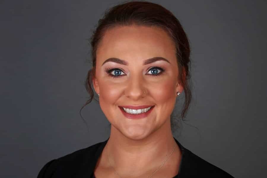
Jill Boulton is a Director at JBA Risk Management, which provides the Comprehensive Flood Map to insurers and conveyancers and is used by around 80% of the UK household market. She told Jane Common at Today’s Conveyancer why flood mapping is so fascinating – and what the government’s new Flood Re scheme will mean for the industry…
How did you get involved with flood mapping Jill – it’s such a specialised area?
“Well, I started off as a maths teacher and then moved into insurance, working in pricing and underwriting for Aviva in the UK before moving to New Zealand to set up a pricing team out there.
“When I came back, my boss said, ‘Flood mapping!’ and I thought: ‘Are you crazy?’ I knew nothing about flood mapping or GIS; I’d never run a large project and let’s say IT wasn’t a passion. A few years later I did ask my boss, ‘Why me?’ and he said: ‘You’re bloody minded, innovative and you deliver.’
“And I did! Obviously I needed support from people who knew what they were doing so I hired JBA Consulting, as JBA Risk Management was called back then. We created the first national scale river flood map of the UK which we delivered in 2005, after four years’ work.
“Shortly afterwards I came to work for JBA and we worked on creating a national scale comprehensive flood map (i.e one that covered multiple flood types) for re/insurance, property search and mortgage companies. Up until then if a company wanted a flood map they had to commission it themselves which could cost millions of pounds – clearly unaffordable for most companies. So I suggested that JBA create the flood maps and then license them to multiple users – it would be more cost-effective for those users and more interesting for JBA as we’d be in charge of our own maps. And that’s how JBA Risk Management was born in 2011 – to develop that business model.”
Do you enjoy flood mapping?
“Yes, it’s become a passion really. It’s sort of been my baby all the way through, at Aviva and then at JBA, and when JBA Risk Management became a company in its own right that was really exciting as we could drive our own destiny. We’re innovative as a company. Even though we have 85% of the conveyancing market and 80% of the insurance market we never rest on our laurels and are always looking for better ways of doing things, improving methodologies and accessing better input data. We’re now in our eighth year of creating a national UK flood map at JBA and we update it every year.”
And obviously it’s an area that’s become increasingly important?
“Yes, it’s incredible to think that it was only in 1964 that flood insurance became part of the standard household insurance package; up until then if people’s properties flooded it was their own look-out. Even with that, the first ‘national’ flood map was only created in 1999 and that was just for England.
“It was only after the floods of 2007 and the ensuing Pitt Report in 2008 – in which Pitt said that homeowners really ought to know if their property was a flood risk – when things changed.
“And that’s good. I’ve been in properties that have flooded and it’s horrific for the owners – so traumatic. People really do lose everything. There’s the sewage and the smell and everything’s contaminated; the wedding video and photographs of the kids are all gone.
“After the immediate impact people are out of their properties for months and, even when they’re back in, every time it rains they worry. So yes, while it’s horrible to discover there’s a risk of flooding, forewarned is forearmed and there are ways to reduce the risk – flood gates, air brick covers and fitting a pump under the floor boards, for example.
“When buying and selling houses, naturally the vendors are the most irritated to be told there’s a flood risk – they have lived in their property for 15 years and it’s never flooded, so they’ll grumble. But the people buying are quite sad too because they’ve fallen in love with somewhere and now we’re telling them there’s a flood risk. But again it’s forewarned is forearmed; JBA’s mapping is indicative not definitive so we can’t take account of very local conditions; they could get a more detailed survey and then, if they go ahead and buy anyway, put precautions in place.”
So now for the science bit – how, exactly, do you create the flood maps?
“The height map underpins everything. It’s a three-dimensional model of the ground surface and the quality of that drives the quality of the flood map that comes off it. So we use LiDAR height maps, (LiDAR is a remote sensing technology that measures distance by illuminating a target with a laser and analysing the reflected light and is accurate to plus or minus 15 centimetres). And we use photogrammetry, which is accurate to about a metre. We use LiDAR data in big cities and photogrammetry elsewhere. LiDAR is expensive so we concentrate on using it in areas where there’s a big population, and photogrammetry in the countryside. The LiDAR we have covers around 50% of the properties in the UK.
“Once we have that data we edit it and that’s very time-consuming. As it’s taken from the air it’s shot straight down so a bridge can look like an obstacle that’s cutting off water flow. So we have to edit every square kilometre across the whole country to make sure the water flow is properly mapped. That’s the attention to detail that’s involved – but it’s vital.
“When we’re happy with the height map we can start the flood mapping itself. We model on a 5m by 5m metre square grid and every 5m square in the whole of the UK has been modelled. To create the surface water map we put a spatially dependent amount of rainfall in to each of these squares – if one square has more water in it than the square next to it, then the water will flow out and if there’s less water in it than in the next square it will flow in. So we’re iterating each square thousands of times over a model run to see how deep that water gets.
“Surface water travels over the ground, trying to flow into a river system, and it will find little dips and bumps as it goes and if it finds a little dip it will fill it up. Then, when that dip is full, it will move on to the next little dip. And that’s how the floods happen. So with surface water we have to map not only where the rivers are but also where the dips are – and they can be halfway up a hillside. One of the things we often hear is: ‘I’ll never flood – I’m up a hill!’ But you can flood, even at the top of the hillside, if there’s a bit of a dip.
“Next we look at river flooding, using the Flood Estimation Handbook which every hydrology company uses and which lists volumes of water at different return periods. A return period is a way of measuring flood risk so if I said a house has a return period of one in a hundred that doesn’t mean it will flood today and then not for another hundred years – it means there’s a 1% chance of it flooding in any given year. But even though there’s only a 1% chance of flooding in any given year, the property could actually flood twice in that year – it’s random.
“Then there’s coastal flooding which is controlled by astronomical tides, obviously, but also wind and pressure. High winds caused the horrendous coastal flooding of 1953, which killed 300 people in the UK. Following that, defences were built around the UK –generally 200-year defences (which means they are designed to protect surrounding areas from floods with a two hundred-year return period) – so it hasn’t really happened since. But what we saw 18 months ago, with the floods in the south-east and west, was wave overtopping. Whilst it isn’t a new phenomenon JBA has only recently pioneered a way to model its impact – our flood defences were effective but the wind speed was so high and the sea so high that it blew straight over the defences!
“So there’s surface water, river and coastal flooding and then we have to factor in climate change, which is causing far more intense storms than before. In the past we might have got two inches of rainfall in a month – now we’re getting two inches of rainfall in two hours. And the drains just can’t cope.
“And we also look at more random factors such as dam failure and canal breach –where would the water go if one side of a dam or canal collapsed?
“The one thing we can’t investigate without the benefit of a crystal ball is burst water mains but that aside – yes, we cover everything to give our clients a good idea of what’s going to happen.”
Do you know how accurate the maps are?
“We never use the word accurate – it doesn’t really apply because in predicting floods it’s impossible to be 100% accurate. Someone might have built a wall we don’t know about and that could cause a flood, for example. But what I will say is that there’s a lot of evidence that where we’ve said might flood has, indeed, flooded. And the fact that insurance companies renew with us – we haven’t had a single person walk away since we’ve started – suggests we’re pretty good at what we do.”
Obviously this information is vital for insurance companies?
“A typical river flood can cost £40,000 in damages to a single property. However high someone’s insurance premium, an insurer wouldn’t be able to recover that kind of loss unless the insured live to be 200. So flood assessment is a major issue for insurers, especially as people buy more and more high-tech gadgets and their claims costs become ever higher.”
And how do conveyancers use the maps?
“Groundsure and Landmark supply our data to conveyancers so typically what the solicitor will receive is a report that flags up issues – this house is susceptible to ground water flooding, for example, or it’s in a 1 in 75-year return period for a surface water flood. With that information the conveyancer can advise their client to get further, local advice on the flood risk – and take out the right insurance, of course.
“After the Law Society 2013 Flood Report Guidance most solicitors do now get a flood report on a property for clients, but it is only guidance so it’s not compulsory. Obviously if you’re going to need a mortgage, you’ll have a flood report as part of that process – and if your property has a flood risk you might struggle to get insurance depending on how bad that risk is. But if you’re one of the lucky people with enough money to buy a property outright your solicitor might not suggest getting a flood report. In that instance, you might buy your perfect retirement cottage next to a babbling brook – only to find a few months’ later the babbling brook is in your living room. And at that point you’re going to want insurance but your premiums will be sky high – and you’ll have difficulty selling the cottage too. Really I think people in that situation need more protection.”
Will Flood Re help those people?
“The idea behind Flood Re is that everybody should be able to get insurance and that it should be affordable. At the moment it’s available for the vast majority of people – but it isn’t always affordable.
“If you’re living next to that babbling brook that floods every other year, for example, your insurance may be so extortionate that you can’t afford it. So the basic premise of Flood Re is that a homeowner’s council tax band will drive the maximum they can be charged for the flood element of their insurance. So something like a terrace might be £210 a year, whereas a mansion by the Thames might be £570 a year.
“It’s a government scheme, backed by the insurers, who will decide which of their clients move over to the Flood Re scheme and which they keep. The insurers won’t be better off but they will be able to hive off people who are at a very high flood risk, meaning flood insurance remains affordable for everyone else.
“I’m in favour of it – my only real concern is that there are lots of exceptions. If a property was built after January 1, 2009 it isn’t covered, for example, and ditto if someone lives in a leasehold flat in a block of four or more. So people will really need to read the small print.”
Will it affect JBA?
“It’s potentially a good thing for us and we are working in conjunction with the team behind it. Despite the exceptions, I think it will help our industry – and the consumer too.”
So what’s next for JBA Risk Management?
“We’re looking globally – at the moment the UK leads the world in flood mapping because of the drive on the part of our insurance sector but other countries are now getting interested. And what’s driving the business globally tends to be the risks floods threaten around the supply chain. Take Thailand in 2011 when there were massive floods and lots of major companies lost their production plants – that’s when global companies suddenly woke up to the fact that floods in Thailand, Vietnam or Indonesia could have a major impact on business. So we’ve adapted our methodology, meaning we’re now able to create flood maps on a global scale – nobody else in the world can offer that – and mapping every country in the world from our office in Skipton. It’s pretty incredible.”
Will you be taking on more staff?
“No we’ll look at outsourcing before we expand on the 51 we already have. We work in the grounds of a stately home and it’s very beautiful with a walled garden for lunchtime strolls but it doesn’t give us a massive amount of potential to grow. And we definitely don’t want to move – we’re in the Stables and the Old Laundry and we’re about to take over the Pantry as it is. We love it here.”
For more information log on to www.jbarisk.com


